This page is associated with the 2016 election. Go here for the 2020 page.
Electoral Maps from Princeton Election Consortium
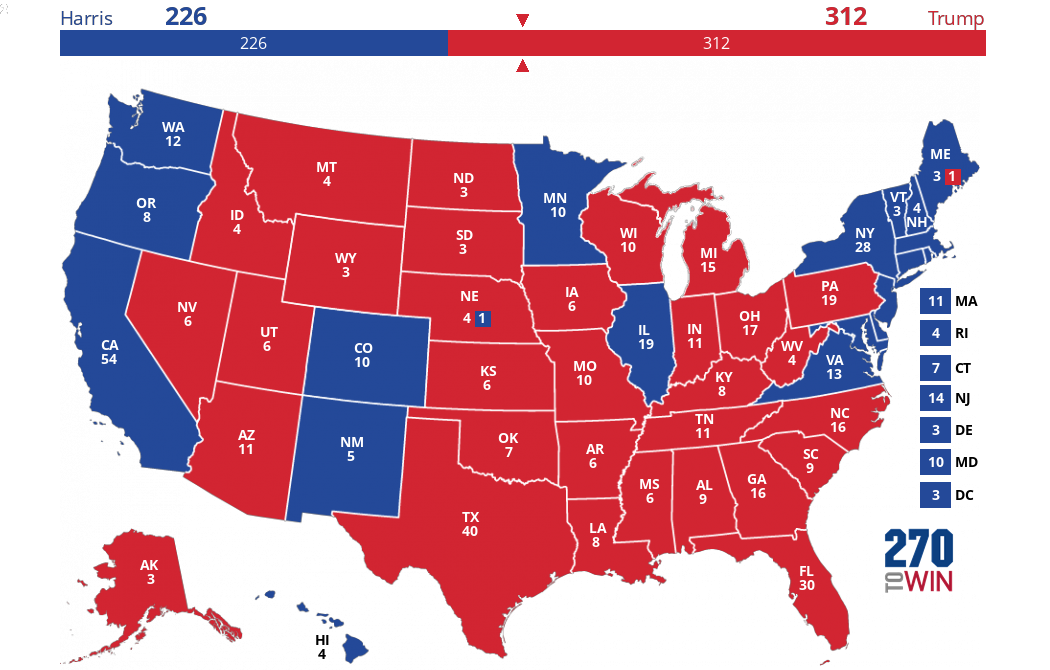
These maps are derived from the current* Princeton Election Consortium model output. The model is primarily driven by state-level polling, factoring in both the spread between Clinton & Trump, as well as consistency across polls.
The first map is the current projection, while the other two maps take a look at the map if either Clinton or Trump were to outperform in the polls by 2%.
Click or tap any of the maps for an interactive version.
---------------------------------------------------------------------------------------------
Baseline: Likelihood for Clinton or Trump victory based on current polling

