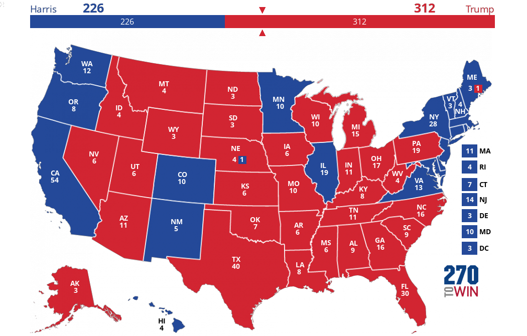
2016 Election: Clinton vs. Trump
This isn’t a popularity contest™
This is the final pre-election polling map. See the State Winners Map for who actually won each state. This map tracks the electoral vote count for the 2016 presidential election primarily based on recent polling. You can see how the map has changed over time. For more information and individual poll results, see the polling averages page.
Close states (poll difference between Clinton and Trump averaging 5 points or less) are shown as toss up (tan). Leaning states (5-10 points) are a lighter blue/red. Darker blue/red states are averaging a spread of greater than 10 points.

You are viewing:
VT |
|
NH |
|
MA |
|
RI |
|
CT |
|
NJ |
|
DE |
|
MD |
|
DC |

Map :
Headlines
Live Results: March 25 Legislative Special Elections
Five vacancies will be filled across three states: Pennsylvania, Mississippi, and South Carolina
Early Voting Begins in Wisconsin Supreme Court Election
The ideological balance of power will be decided in this election for a ten-year term to succeed the retiring Justice Ann Walsh Bradley
Arizona Rep. Raul Grijalva Dies at Age 77
The 12 term Democrat had been receiving cancer treatment
Democratic Sen. Jeanne Shaheen of New Hampshire Not Running in 2026
She is the third Democrat to retire this cycle, all in states that represent Republican pickup opportunities
Overview and Live Results: March 11 State House Special Elections
State House vacancies in Iowa and Minnesota will be filled Tuesday. There is also a special State Senate primary in Alabama.

Customize your map by changing one or more states. Return here to share it. Share or Embed your Map: Select 'Share Map' button above. Share or Embed your Map: